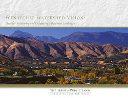
TPL’s Northwest Regional Office recently published “The Wenatchee Watershed Vision” including maps by Karsten Vennemann of Terra GIS. The report was completed in September 2007 and is a conservation vision plan for the Wenatchee River Watershed. The main focus is on the areas stretching from Leavenworth to Wenatchee. It is intended to serve as inspiration for community action, fostering coalitions, strategic partnerships and cooperation among local government agencies, and public and private entities in the area.
 |
The first part of the report introduces to the Wenatchee Watershed and illustrates challenges and opportunities related to development, recreation, conservation and a changing agricultural economy. The following chapters introduce a vision of opportunities regarding agricultural and natural lands, development, recreation and reports on financial funding opportunities for enhancing public and open spaces and develop recreational opportunities. |
| The report includes 16 maps that were created by Matt Stevenson (CoreGIS), Karsten Vennemann (now Terra GIS) and Erica Simek (now The Nature Conservancy). The terrific layout was done by our partner Matt Stevenson at CoreGIS. For more information visit TPL’s regional website. Download full report (88 pages -7MB). Download Maps only version (16 maps 3MB). |
|