Update on Terra GIS & Greenwood Mapping
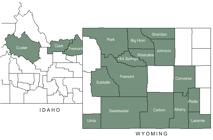
| In the fall of 2024, Terra GIS acquired Greenwood Mapping Inc., including its open-source-based web mapping platform. Terra GIS now hosts all interactive Web Maps previously supported by Richard Greenwood, including those used by county governments in Wyoming and Idaho. | ||
| Click on the map below to open the respective web map application in a new browser tab. | ||
 |
Data
These applications integrate multiple sources of public data, including:
- GIS – parcel mapping and 911 addressing
- Clerk – scanned and indexed land records
- Assessor – property details and valuations
- Treasurer – tax history and online payments